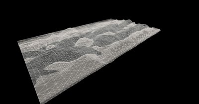
So far I've got some interesting forms developing from the information i'm using to create my datascapes. The mapimation will consist of 2 primary surfaces that describe solar radiation both absorbed and irradiated. as an investigation of the surface potential, I have trim/split the two surfaces, creating many separate surfaces where the two intersected. I think that I am going to try to have the surfaces undulate between one another, then split up and condense themselves to the boundaries of the continents, showing the final relation of this condition at a global scale.
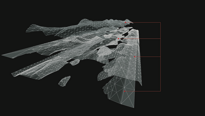
Another idea is to somehow escape the boundaries of the continents and morph into some abstract creation as the second image suggests. This would create a new spatial conditions and be much more interesting in my opinion as a mapimation, not just a tracing.
keyframe 1: Two datascapes intersecting one another
layers split up and set and varying levels
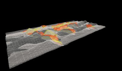
keyframe 2: imposing continents onto the surface


No comments:
Post a Comment