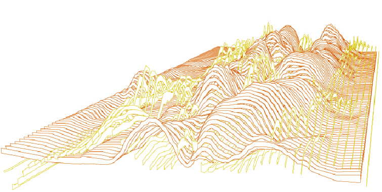
These images show surface displacements according to the amount of radiation being absorbed and reflected onto the earth. The data produced in 3 dimensions has created an interesting topography which cuts through the atmosphere above the surface of the earth.
Click here to see the surfaces transform.
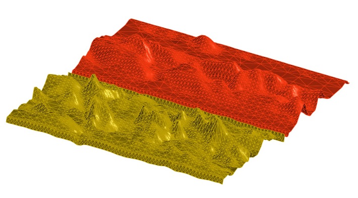

Red represents absorbtion/ yellow represents reflected


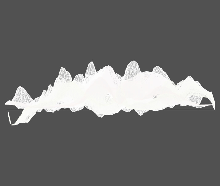

The map of the earth is rendered undernearth with a slight transparency to show scale and spatial relations

No comments:
Post a Comment